
Forgotten History Countdown
Seven Countries That Existed and Then Did Not
Short-lived states, federations that dissolved and republics that lasted months. Seven examples, and what each one reveals about how borders actually work.

There is a natural assumption, looking at a modern map, that the lines on it have always been roughly where they are. Almost none of them have.
Some of the states below lasted a decade; one lasted a season. All of them had the apparatus of a country — a flag, an anthem, stamps, a treasury, sometimes diplomatic recognition — and all of them are now entries in a historical atlas.
Seven of them, counting up to the one that still shapes the news.
-
Number 7: The United Arab Republic

Creator unknown — Public domain — Wikimedia Commons Egypt and Syria merged into a single state in 1958, with one flag, one president and one government. Syria withdrew in 1961. Egypt continued to use the name for another decade, which is why the abbreviation turns up on stamps and documents long after the union itself had ended.
-
Number 6: The Federation of Rhodesia and Nyasaland
Illustration: World of Curious Created in 1953 from three territories in central Africa and dissolved in 1963. It produced its own currency and postage and had a parliament, and lasted almost exactly ten years before separating into what became Zambia, Malawi and Zimbabwe.
-
Number 5: Czechoslovakia
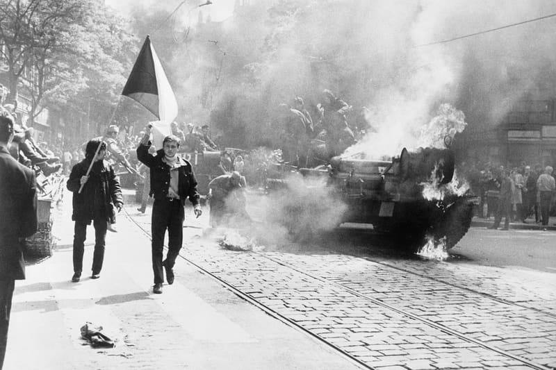
The Central Intelligence Agency — Public domain — Wikimedia Commons Formed in 1918 from parts of the collapsing Austro-Hungarian Empire, occupied and partitioned in 1938 and 1939, reconstituted after the war, and dissolved peacefully into the Czech Republic and Slovakia on the first day of 1993. The separation is one of the very few of its kind agreed entirely by negotiation.
-
Number 4: The Republic of Texas
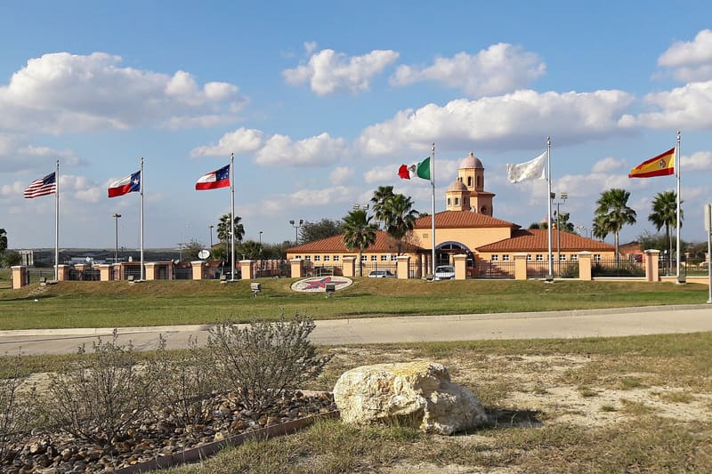
Miguel Angel Omaña Rojas — CC BY 4.0 — Wikimedia Commons An independent republic from 1836 to 1845, with its own presidents, currency and diplomatic recognition from several countries, before being annexed by the United States. It lasted nine years, which is long enough to leave a substantial paper trail.
-
Number 3: The Free City of Danzig
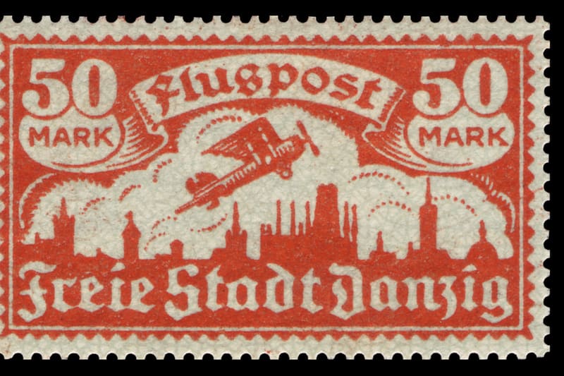
Max Buchholz (1878–1942) — Public domain — Wikimedia Commons Established after the First World War as a semi-independent city state under League of Nations protection, with its own flag, stamps and currency, but with its foreign relations largely handled by Poland. It ended with the outbreak of the Second World War.
-
Number 2: The Republic of West Florida
Illustration: World of Curious Declared in 1810 in territory along the Gulf coast, with a flag and a constitution, and absorbed by the United States within about three months. It is the shortest-lived entry here, and a useful reminder that the threshold for declaring a republic in that period was low.
-
And the strangest one of the lot
Number 1: Yugoslavia
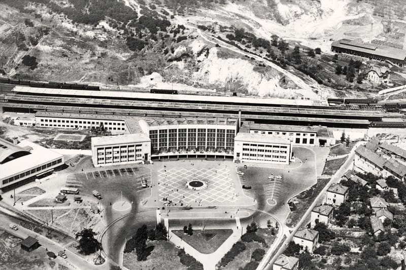
Izrada: Agencija za fotodokumentaciju - Zagreb (A 1303 Snimak: D — Public domain — Wikimedia Commons The most consequential entry on the list, and the one whose disappearance is closest to living memory. It existed in various forms from 1918, was reconstituted after the Second World War as a federation of six republics, and dissolved through the 1990s in a sequence of wars and separations that redrew the map of south-eastern Europe. Within a single lifetime, a person living in the same house could have held the citizenship of four or five differently named states without ever moving. That is the real lesson of this list: the borders on a map feel permanent because they are printed, and almost none of them are older than a few generations.


.jpg)
Every entry here had a flag, a government and a currency, which are the things that make a state feel real. None of that turned out to be the same as lasting.
Where this came from
- Historical atlases and territorial change — Encyclopaedia Britannica
- United Nations membership history — United Nations
- Twentieth-century political history — The National Archives
Read next
 Feature
 Eight Villages That Were Deliberately Emptied
Reservoirs, gunnery ranges, mining subsidence and an emptied valley. Eight places that were cleared on purpose, and what happened to the people who lived there.
 Countdown
 Ten Things About Daily Life in Ancient Rome That Sound Modern
Takeaway food, block-of-flats living, graffiti about the neighbours and complaints about the landlord. Ten details of Roman daily life from the surviving evidence.
 Mystery
 The Manuscript Nobody Has Ever Read
A 240-page medieval book written in an unknown script, illustrated with plants that do not exist. Here is what is actually established about it, and what is not.