
Amazing Australia Countdown
Ten Facts About the Size of Australia That Never Quite Sink In
Australia is mostly a scale problem. Ten comparisons that make the distances legible, including the ones that surprise Australians.

Australia is difficult to picture because it is drawn small on world maps and described as empty, and neither is quite right.
It is the sixth largest country on Earth, with a population smaller than that of many single cities, spread very unevenly around the edge. Everything that follows from that is more interesting than the raw area figure.
Ten comparisons, counting up to the one that explains the country.
-
Number 10: It is comparable in size to the contiguous United States
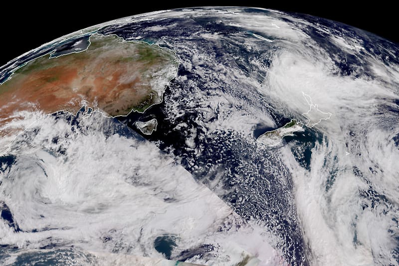
NOAA — Public domain — Wikimedia Commons Australia covers roughly 7.7 million square kilometres. The mainland United States, excluding Alaska and Hawaii, is around 8 million. The difference in perception comes from population: one has well over 300 million people, the other around 27 million.
-
Number 9: Western Australia alone is bigger than most countries
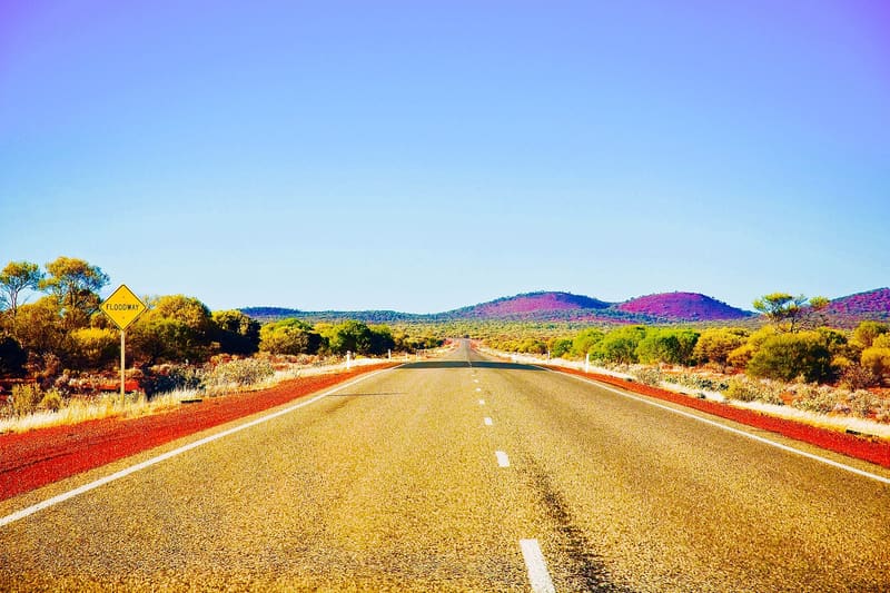
Doylew01 — CC BY-SA 4.0 — Wikimedia Commons At around 2.5 million square kilometres, Western Australia is larger than any country in Europe and would rank comfortably inside the ten largest countries in the world if it were independent.
-
Number 8: Perth to Sydney is further than London to Moscow
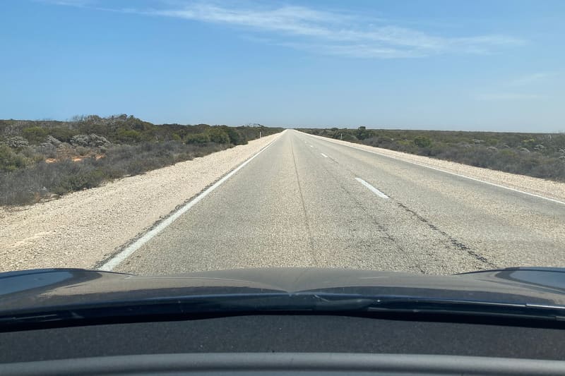
Chuq — CC BY-SA 4.0 — Wikimedia Commons About 3,300 kilometres by air, against roughly 2,500 from London to Moscow. The flight takes around five hours and crosses three hours of time difference without leaving the country.
-
Number 7: Most Australians live on a thin coastal strip
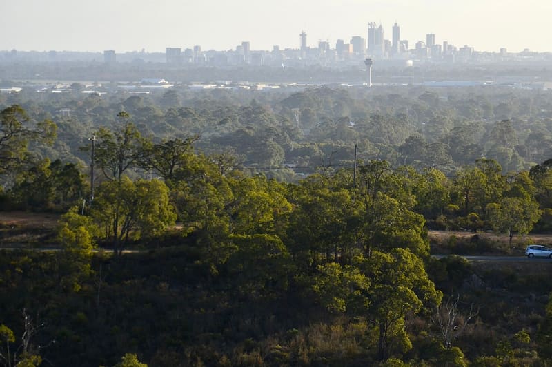
JarrahTree — CC BY 2.5 au — Wikimedia Commons The overwhelming majority of the population lives within about 50 kilometres of the coast, and a very large share of that is in a handful of cities on the eastern and southern seaboard. The interior is not empty, but it is sparsely settled by any international standard.
-
Number 6: Some cattle stations are larger than small countries
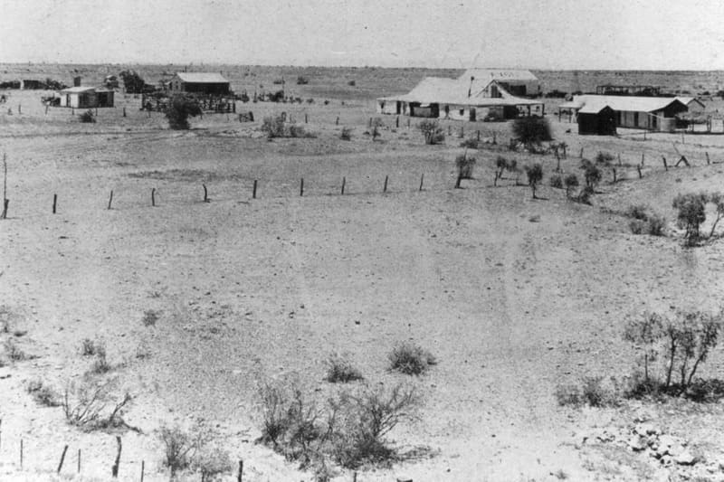
Contributor(s): North Queensland Register — Public domain — Wikimedia Commons The largest pastoral holdings in Australia run to many thousands of square kilometres, and several individual stations exceed the area of some European countries. Mustering on that scale involves aircraft as a matter of routine.
-
Number 5: Tasmania is further from the mainland than people picture
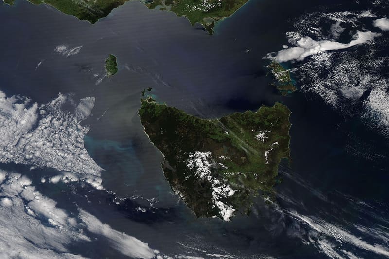
MODIS Land Rapid Response Team, NASA GSFC — Public domain — Wikimedia Commons The Bass Strait crossing is around 240 kilometres at its narrowest, comparable to crossing from England to the Netherlands. It is a genuine sea passage with a reputation to match.
-
Number 4: There is a straight stretch of railway 478 kilometres long
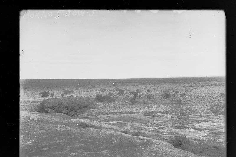
State Government Photographer — CC0 — Wikimedia Commons The Trans-Australian Railway across the Nullarbor Plain includes the longest dead-straight section of railway line in the world. No curve, in either direction, for well over four hundred kilometres.
-
Number 3: Driving around the coast is roughly the distance from London to Beijing and back
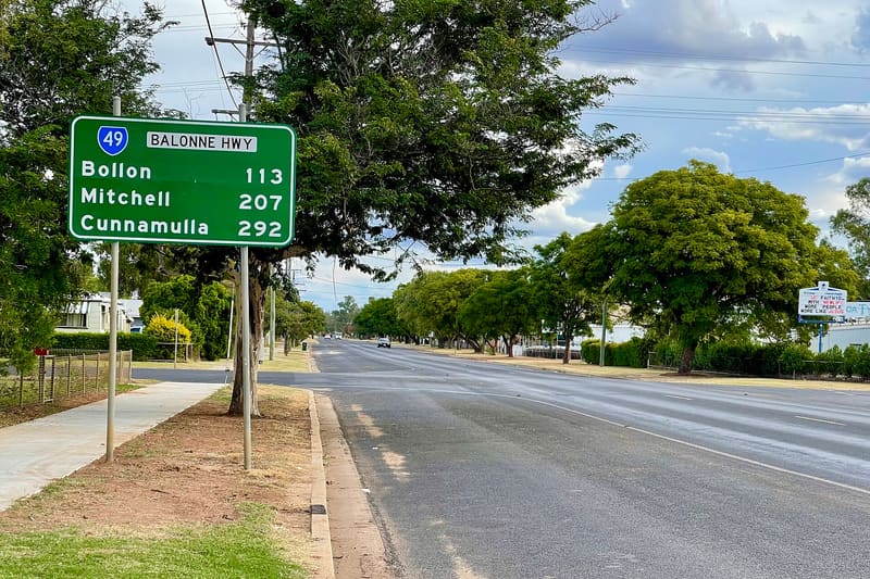
Kgbo — CC BY-SA 4.0 — Wikimedia Commons The full circuit of Highway 1 runs to around 14,500 kilometres, which makes it one of the longest national highways anywhere. Doing it properly takes months, not weeks.
-
Number 2: Some towns are closer to another country's capital than to their own
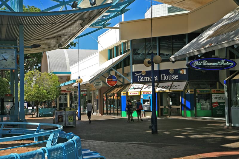
W. Bulach — CC BY-SA 4.0 — Wikimedia Commons Darwin is nearer to Dili, and considerably nearer to several Indonesian cities, than it is to Canberra. Northern Australia sits much closer to South-East Asia than the standard map of the country suggests.
-
And the strangest one of the lot
Number 1: The distances shape everything else about the country
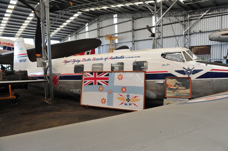
thinboyfatter — CC BY 2.0 — Wikimedia Commons This is the fact that all the others are really about. Australian distance is not a piece of trivia; it is the reason the country works the way it does. It explains a school of the air teaching children by radio and then by satellite, a flying doctor service covering areas larger than most European countries, freight trains over a kilometre long, road trains hauling multiple trailers, and a pattern of settlement concentrated in a handful of coastal cities with very little in between. It also explains why so much national infrastructure — telecommunications, aviation, mail — was built with rural remoteness as the design problem rather than an afterthought. Almost every distinctively Australian institution is a response to the map.


.jpg)

.jpg)


.jpg)
.jpg)

.jpg)
.jpg)
The useful trick when reading about Australian geography is to convert distances into European ones. It makes the numbers mean something.
Where this came from
- Area of Australia and its states — Geoscience Australia
- Population distribution and remoteness structure — Australian Bureau of Statistics
- Australian geography reference — Encyclopaedia Britannica
Read next
 Quiz
Quiz Which Is Further North? Eight Geography Questions That Beat Intuition
Eight comparisons where the obvious answer is wrong, and the reason is almost always the same: maps distort, and mental maps distort more.
 Countdown
 Ten Landmarks That Are a Completely Different Size to What You Imagine
Famous structures are photographed from angles that flatter them. Ten landmarks with their actual dimensions, and why the photographs mislead.
 Countdown
 Eight Islands With Genuinely Strange Arrangements
An island in a lake on an island in a lake, a border that swaps every six months, and the most remote inhabited place on Earth. Eight islands and the reasons behind them.